
Climate action is more important than ever and understanding how data and geography shape climate solutions can help turn concern into real impact. If you’re interested in climate change and want to build practical, career-ready skills, this free online learning opportunity is designed for you.
Climate action requires more than awareness. It requires tools, data, and the ability to understand how climate impacts vary across locations and communities. This course introduces learners to how geographic information systems (GIS) are used to support climate action, helping individuals and organizations make informed decisions and build more resilient communities.
Why Climate Action Matters
As one of the most urgent priorities facing communities around the world- climate change affects regions differently, with impacts such as flooding, extreme heat, infrastructure stress, and social vulnerability varying by location.
This course focuses on climate through a geographic lens. By using location-based data, learners explore how risks can be analyzed spatially, how patterns change over time, and how insights can be communicated clearly. Climate action becomes more effective when data is transformed into maps, dashboards, and stories that support understanding and decision-making.
Through this learning experience, data is not just discussed- it is explored through real examples and practical applications using GIS technology.
What This Course Offers
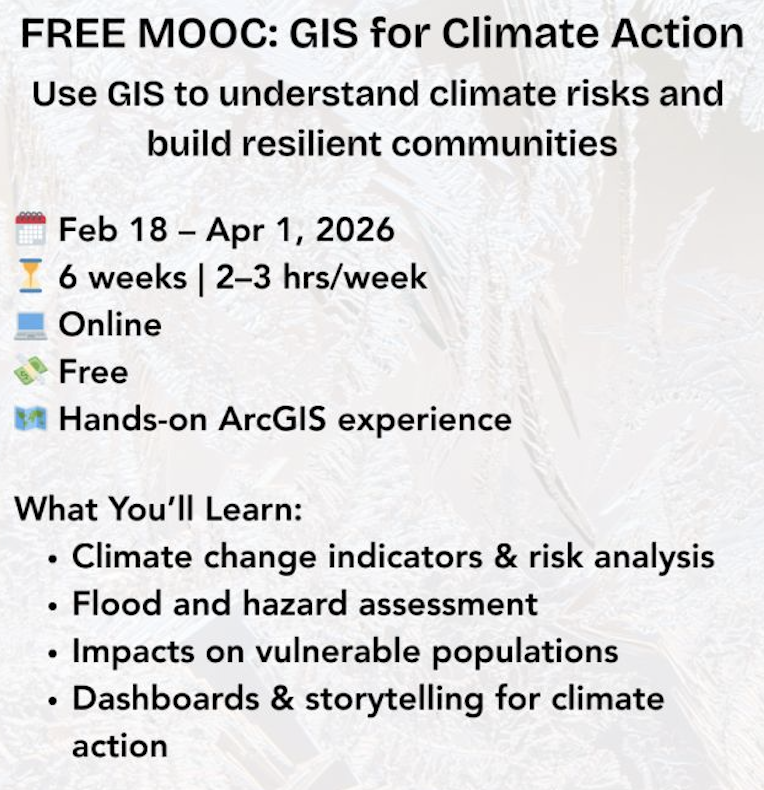
This free online course introduces concepts through the use of Geographic Information System technology. Learners explore how GIS is being used worldwide to address climate-related challenges and support planning, adaptation, and communication efforts.
Throughout the course, participants learn how GIS tools support climate action by helping users:
-
Analyze climate change indicators and environmental risks
-
Identify flooding and other climate-related hazards over time
-
Understand how climate impacts affect vulnerable populations
-
Create interactive dashboards and stories to communicate climate data
The course emphasizes hands-on learning, allowing participants to work with real data and professional tools to better understand how climate action strategies are developed and shared.
Who Can Join (Eligibility)
This learning opportunity is open and accessible to a worldwide audience.
- No prior GIS experience required
-
Familiarity with GIS concepts or ArcGIS Pro is helpful but not required
-
Requires a computer that can run ArcGIS software
-
Internet connection and a modern web browser recommended
Program Details
-
Duration: Approximately 6 weeks
-
Time commitment: Around 2–3 hours per week
-
Format: Online, self-guided learning
The flexible structure allows learners to engage with climate action content alongside school, work, or other commitments.
Tools Used for Learning
Participants receive access to professional GIS tools commonly used in climate action work, including ArcGIS Pro, ArcGIS Online, and related applications. These tools allow learners to create maps, analyze data, and build visual outputs that support climate understanding and communication.
Course Outcome
Learners who complete all sections of the course will receive a certificate of completion.
Important Dates for this Course (2026 Session)
-
Course runs: February 18 – April 1, 2026
-
Registration deadline: March 5, 2026
Why You Should Join This Opportunity
This is more than an online course! It’s a practical entry point into climate action using modern technology. Participants gain exposure to how data and geography are used in real climate-related work across sectors.
Whether your goals are environmental, technical, or career-focused, this course supports climate action learning by combining skills development with real-world context. The experience can help learners better understand climate challenges while gaining tools they can apply in future studies or professional roles.
Ready to Participate?
If you’re ready to learn how geography, data, and technology support climate action, this course is a great place to start.


5 thoughts on “GIS for Climate Action : Join a free 6-Week Online Course with Esri Academy”
1
4.5
2
5
4
Comments are closed.